Butterbur
Hydraecia petasitis

Species account (old)
[...] TCD finds it commonly among dense growths of Butterbur by the Wear, but very much restricted thereto: his Chester-le-Street trap some 250m. away takes it fairly regularly, but in nothing like the numbers known to be about. He thinks the relative shortage of records for Durham is due to lack of searching or trapping sufficiently close to the foodplant. It has also been taken in Teesdale by J. P. Robson, at Cowshill, Upper Weardale by G. H. Harrison and along the Hookergate/High Spen road (R. Henderson).
Statistics
| Records | 23 |
|---|---|
| Individuals | 27 |
| Largest Sample | 3 |
| First Recorded | 1857 |
| Last Recorded | 2023 |
| Earliest Adult Record | 27/07 |
| Latest Adult Record | 27/09 |
| Monad Coverage | 0.5% |
| Hexad Coverage | 26.2% |

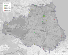
Map
This map shows all records of Butterbur - Hydraecia petasitis in the Durham (VC66) database per monad (1km grid square). The map can be explored further by zooming and panning, can be reset using the button on the left, and can be filtered by selecting the era. Click on a monad to view a full list of species recorded in it, or its containing hexad (10km grid square).

Week graph
This graph shows the County Durham (VC66) records of Butterbur - Hydraecia petasitis per 7-day period, differentiated by life stage. Hover over/tap the graph to see an exact count of records at that point in time. Hover over/hold the life stage legend to highlight a particular life stage; click on a life stage label to remove it from the graph. The graph can be filtered further by selecting the era.
The graphs below show the total records and individuals of Butterbur - Hydraecia petasitis in County Durham (VC66) per time period. Hover over/tap the graph to see an exact number of records and individuals at a particular point in time. Hover over/hold a label to highlight a particular metric; click on a metric label to remove it from the graph.
Era graph
Year graph

Gallery
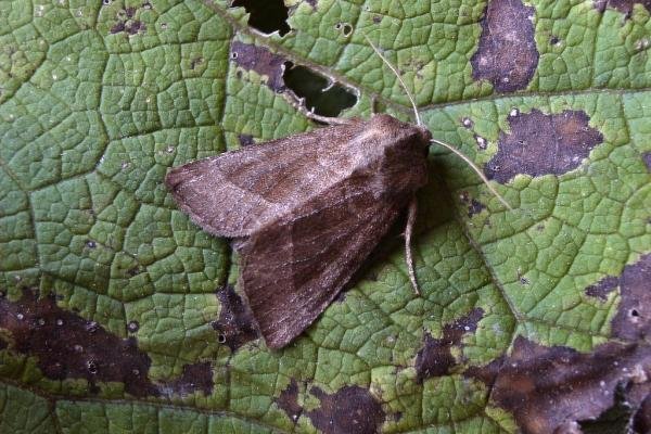
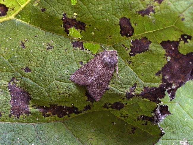
This gallery shows images of Butterbur - Hydraecia petasitis. Clicking on a photo opens it in a large lightbox with a full caption, and the arrow buttons move between photos. If you would like to contribute any photographs, particularly of any stages not captured here, please email admin@durhammoths.org. Most photos on this website have been taken by County Durham (VC66) recorders, but please note that not all have been taken in the county.

Foodplants
This is a list of foodplants known to be used by the larval stages of Butterbur - Hydraecia petasitis in the UK.
Habitats
This is a list of habitats that Butterbur - Hydraecia petasitis is known to occur in within the UK.
Habitat and foodplant information derived from Cook, P.M.; Tordoff, G.M.; Davis, A.M.; Parsons, M.S.; Dennis, E.B.; Fox, R.; Botham, M.S.; Bourn, N.A.D. (2022). Traits data for the butterflies and macro-moths of Great Britain and Ireland, 2022. NERC EDS Environmental Information Data Centre. https://doi.org/10.5285/33a66d6a-dd9b-4a19-9026-cf1ffb969cdb


